Automobile

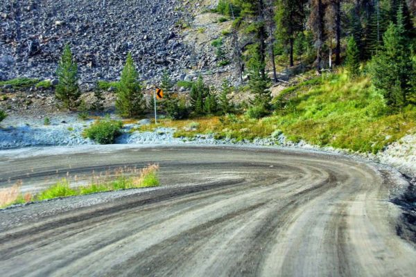
From Williams Lake, you can drive seven hours (450 km/280 mi) to Bella Coola on Highway 20. From its highest elevation point of 1600 m in the Chilcotin Plateau, the route descends 15 km through Heckman Pass, also known as “The Hill,” with grades of up to 18%.
In the 1950s, the provincial government claimed that building a road to Bella Coola was near impossible and too expensive for the small number of people living in the region. In response, the local community decided to build it themselves, using only two bulldozers. One year and two weeks later, the road was successfully completed. The road is unpaved, has no guardrails, multiple hairpin turns and sheer drop-offs.

