A Rich Coastal Mosaic
The North Coast and Central Coast regions are unique to B.C. and to the world because of the highly diverse plant, animal, and marine life which thrives here, along with the equally diverse geography and climate. These elements are described by the Biogeoclimatic Ecosystem Classification map, which classifies areas of the province that share similar climate and vegetation.
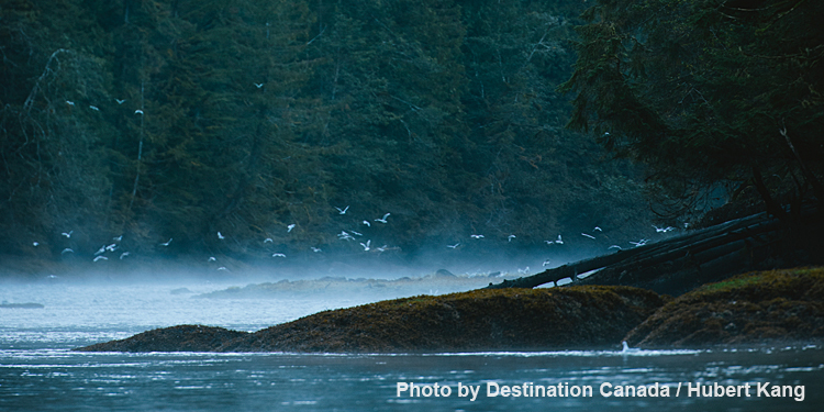
B.C.’s coast has been shaped by a number of complex processes:
- The B.C. coast stretches across four different tectonic plates, which are massive underground slabs of solid rock that float, move and change shape over time. The four plates underneath our coast are the Pacific, the North America, the Juan de Fuca and the Explorer Plates.
- Interactions of these plates, and other geological activities, have formed a complex and diverse terrain of mountains, mainland and hundreds of inlets, fjords and islands.
- Winds from the west bring warm, wet air which hits the Coast Mountains, cools and falls as rain, hail, snow or fog.
- Winds from the east split into the Alaska and California currents. This split means a large part of B.C.’s coast is in a transition zone that has different effects on temperature and nutrients within our coastal waters.
- As the B.C. coast is near this transition zone, nutrients are brought to the surface of the water, which feeds, cultivates and provides a habitat for great variation in marine and plant life.
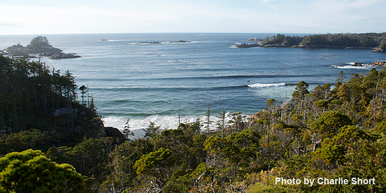
While large-scale land-and-sea interactions have shaped B.C.’s coast, smaller-scale processes also play a role. Tides and currents impact the shorelines in different ways depending on wave energy, exposure and location. That’s why some shores are rocky, some are sandy, some have much marine organic materials washed ashore while others have less. Some shores slope gently into the sea and some shores drop like cliffs. The way the sea shapes the shoreline affects which species inhabit which areas.
Marine nutrients washed ashore are consumed by shoreline plants, scavengers, assorted small creatures and on up the food chain. When herring eggs are washed ashore, they provide nutrients for black bears, wolves, birds, and other small mammals. These nutrients are then transported inland from the waste of these animals that fertilizes the forest.
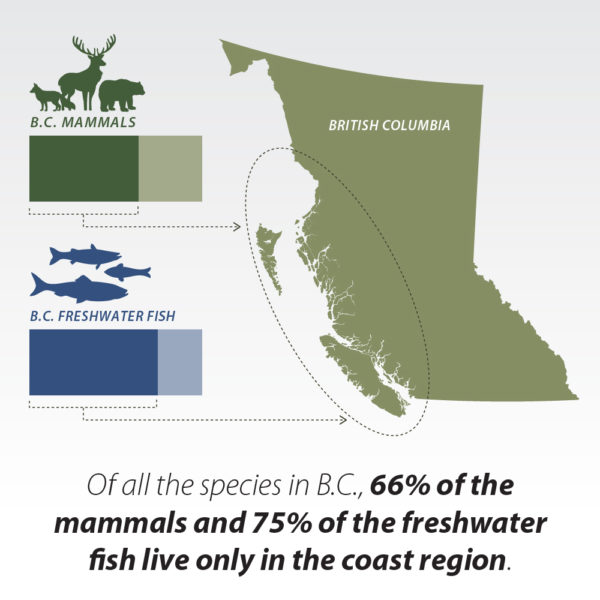
The annual salmon run is another example of land-and-sea interaction. When salmon return to their freshwater spawning grounds, they bring with them important marine-based nutrients. As bears, wolves, gulls, and other animals feed on the salmon, scraps and waste from these animals are moved into the surrounding forest, providing nutrients for a multitude of plants, trees and insects.
The tall trees of the rainforest that surround salmon spawning grounds thrive on marine-based nutrients. Some plants grow better in nitrogen-rich soils while others prefer nitrogen-poor soils – this can determine which plants grow near salmon-bearing streams and waterways. The interesting result is that plant diversity in the rainforest varies depending on what kinds of nutrients are contained in different habitats.
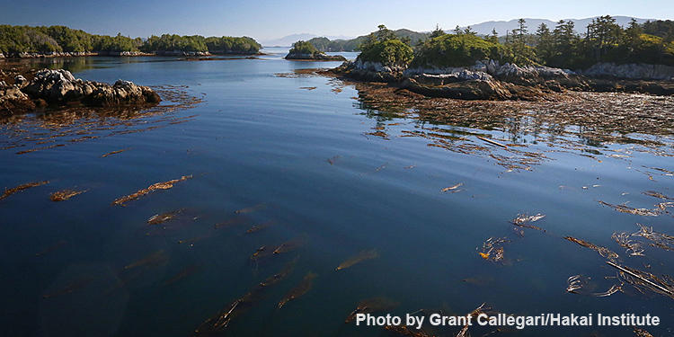
High rainfall, humid air and melted mountain snow in the spring fills countless lakes, streams, wetlands and rivers that flow down to the sea throughout the Great Bear Rainforest. The exposed outer coast has an intricate shoreline with narrow channels and steep-walled fjords that provide ecologically complex estuaries, calm inlets and pocket coves.
On the surrounding islands and coastline, many small streams weave their way through the forest and empty into the ocean. These streams, some of which are no longer than a kilometer or two, help form and transport nutrients to watersheds which support the return of spawning salmon.
Neekas Creek, a small stream near Bella Bella, has up to 60 000 chum salmon spawning per kilometre of stream, likely the highest density in the province. This creek, along with the many other waterways, estuaries and fjords feed the sea, all of which support a rich diversity of marine life and land mammals from salmon, herring and eulachon to invertebrates and rockfish to killer whales, seabirds, bears and wolves.
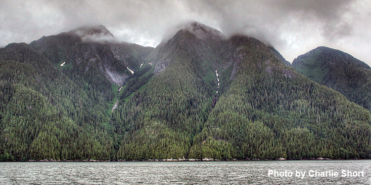
The world’s rainforests have been described as the ‘lungs of the Earth’ because of their high oxygen production. While the climate of the Great Bear Rainforest is temperate, its coastal setting produces more coniferous trees that generate more oxygen than other temperate rainforests. This rainforest has some of the world’s largest stores of carbon and ranks as one of the wettest non-tropical areas in the world with high rates of precipitation – mostly rain – making the forest very dense and green.
The Great Bear is cool in temperature given the abundance of tall trees, high canopies and limited sunlight reaching the forest floor. These conditions cause a biodiverse environment with slow decomposition processes where living or organic matter is transformed into inorganic matter, like soil.
Adopting an ecosystem-based management approach to forest management in the Great Bear Rainforest – a form of ‘lighter touch’ logging – will reduce carbon dioxide emissions and lower ecological risk to the rainforest environment. Such actions are intended to slow climate change.
- Weather is temperate year-round.
- June, July and August are the warmest months in the northern and coastal regions.
- In the northern regions, summer highs reach 17°C and winter lows hit -2°C.
- In the southern regions, average annual highs are 17.9°C in August with lows of 0°C in January.
- Moderate winter snowfalls happen along the coast with colder temperatures and more snow at higher elevations.
- An average of 6,650 mm of rain falls each year. Most rain occurs in the winter months.
- Humid winds are caused by the warm ocean currents which cool as they move by the mountains.
- The foggy air creates ‘fog drips’ that fall from the trees.

